Best Marine and Boating Navigation Apps
Last Updated on May 19, 2024 by Boatsetter Team
For almost everything you do today, there’s an app that will support, enhance or complement that activity. Recreational boating is no exception, and there are dozens of boating apps to help you enjoy time on the water.
Arguably, marine navigation apps are some of the most common—and the most useful—available to boaters today, with a range of options to suit different needs. Some boat GPS apps, for example, utilize NOAA raster charts, which are essentially scanned paper charts incorporated into their systems. Some apps offer vector charts, providing electronic charts that allow for scrolling and zooming in for enhanced detail.
The convenience of downloading these apps to your iPhone, Android, or tablet enables you to have them readily available regardless of the boat you’re on, significantly enhancing your navigational capabilities.
Best marine navigation apps ( with GPS )
These are our top recommendations for boating apps that are great for marine navigation and offer GPS. Most of the apps are free to try.
1. Navionics
A perennial favorite is Navionics because it’s easy to use and comprehensive in scope. Navionics mimics a standard chartplotter experience and in some cases can connect to an onboard plotter via WiFi. Creating waypoints and routes, measuring distances and understanding depth contours and aids to navigation is pretty straight forward with this app.
Once downloaded, the charts stay on your device and can be used offline which is great when you’re cruising in areas with little coverage. Bonus functionality includes weather and tide information and dock-to-dock routing that helps you set a viable course based on your vessel’s parameters like draft.
- Price: Two-week free trial, then subscriptions starting at $14.99
- Click here to learn more and download.
- Get the app from Google Play Store or iOS store
2. iNavX
Easy to confuse with Navionics (especially when downloading the app), iNavX is a whole different animal. There’s a $5 charge to download the app, and then you can download NOAA raster charts for free and vector charts (powered by Navionics and C-MAP) for a fee.
Beyond navigation, details on marinas, fuel docks and other facilities are also available. Weather data overlays and additional features like engine data and AIS collision avoidance information can also be viewed, but the app can get technical in a hurry and may take longer to learn.
- Price: $4.99, plus an annual subscription
- Click here to learn more and download.
- Get the app from Google Play Store or iOS store
3. C-MAP
C-MAP is the primary other choice besides Navionics for the underlying charting information that many apps use with their own user interface. The new C-MAP Embark was designed to be intuitive so after a few minutes, you won’t really be looking for the manual to manage the basics like waypoints, routes and nav aids.
A funky feature includes the app changing color based on your environment, so the charts are always easy to read regardless of the surrounding light. The basics include a free download, but chart additions and weather data will be in-app purchases.
- Price: Free, with available in-app purchases
- Click here to learn more and download.
4. SeaPilot
SeaPilot sets an ambitious agenda for itself: it’s a basic navigation app (which has a free three-day trial) but it ramps up from there. You’ll need to upgrade to the premium version so you can add various chart areas, weather forecasting and routing capabilities. Beyond that, you can connect to Facebook to find nearby boating friends.
For sailors, there’s a database of polar diagrams which are graphs of the theoretical top speeds attainable by over 300 kinds of sailboats.
- Price: Three-day free trial, then starting at $7.99
- Click here to learn more and download.
5. i Sail GPS:NOAA USA Charts
For barebones basics, iSail is a great choice because it’s inexpensive and you can skip sign-ups and pop-ups. Measure distances to your waypoint, upload waypoints and routes and get quick ETAs to your next intermediate or final point.
iSail uses NOAA raster charts which are downloaded to the device so they can be used without Wi-Fi or out of cell range. There are few advanced features, but this app gets the job done when you need the basics. It’s for iOS only.
- Price: $7.99, with available in-app purchases
- Click here to learn more and download.
6. KnowWake

The best way to describe KnowWake is to compare it to a road-based app you’re probably already familiar with–Waze. Like Waze, KnowWake is crowd-source and will provide information on congested waterfront locations–coastal and on 350 inland waterways.
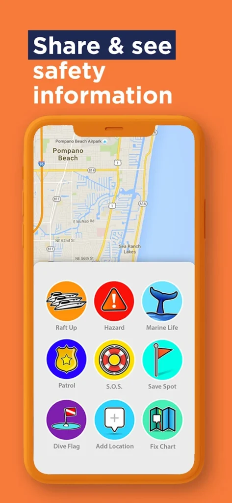
On a bustling weekend, you can see how busy marinas, restaurants, boat ramps, fuel docks, and dive and snorkel sites are. You can use it in North America, on the Great Loop and in Canada as well as in parts of the Caribbean. The app uses real-time updates and it has location-sharing between users so you can find friends.
- Price: Free!
- Click here to learn more and download.
- Get the app from Google Play Store or iOS store
All the boating apps above vary in price, complexity and focus, and although some are free, advanced features generally come at a price. Some take a bit of time to learn, but they’ll all put some peace-of-mind in your pocket the next time you slip the dock lines.
Bonus Apps: Boatsetter
Did you know Boatsetter has an app? Make that two! We’re proud to offer the largest peer-to-peer boat rental app that connects boat owners and boat renters, so you can get on the water without committing to boat ownership. Rent one of over 17,000 boats in 600 locations. Boatsetter isn’t the only private boat rental app, but it offers an exclusive partnership with BoatUS and Geico for insurance.
- Price: Free! (Boat owners should also check out our Boatsetter Owner’s app, perfect for stress-free boat rental management and easy communication with renters).
- Click here to download for iOS; or click here to download for Android.
Browse Available Boat Rentals in All Locations
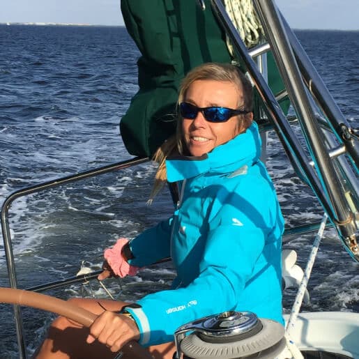
Zuzana Prochazka is an award-winning freelance journalist and photographer with regular contributions to more than a dozen sailing and powerboating magazines and online publications including Southern Boating, SEA, Latitudes & Attitudes and SAIL. She is SAIL magazines Charter Editor and the Executive Director of Boating Writers International. Zuzana serves as judge for SAIL’s Best Boats awards and for Europe’s Best of Boats in Berlin.
A USCG 100 Ton Master, Zuzana founded and manages a flotilla charter organization called Zescapes that takes guests adventure sailing at destinations worldwide.
Zuzana has lived in Europe, Africa and the United States and has traveled extensively in South America, the islands of the South Pacific and Mexico.
